
This post may contain affiliate links. If you use them we earn a small commission at no extra cost to you.
A few years ago, thanks to some viral videos, this area became explosively popular. If you've come here searching for more information about Timber Gulch, we've got everything you need to know. Including the fact that those videos are a bit misleading.
You see, the dramatic canyon landscapes you and everyone else are searching for absolutely exist and are just as beautiful as the videos make them look. But their real name is Leslie Gulch.
Leslie Gulch is just one canyon extending from Mahogany Mountain towards the Owyhee River. Eons ago, the ancient caldera spewed ash over the surrounding area in a volcanic eruption. The result was these dramatic spires, hoodoos, and other formations made of rhyolite tuff, a rock consisting mostly of ash.
Several other, smaller gulches branch off from Leslie, including Timber Gulch. Someone chose that particular placename and the viral reputation was born.
Names aside, this place is truly incredible.
It's one of the largest areas of raw, untouched wilderness in the lower 48 states. These are undoubtedly some of the most beautiful and dramatic landscapes in the west.
It's a place that we should admire and cherish, but also work to protect. Our guide has all the information you're looking for on how to get to Leslie Gulch (or Timber Gulch!), what you can do while you're there, and how to keep it in pristine condition for generations to come.

How to Get to Leslie & Timber Gulch
These incredible gulches are located in eastern Oregon, an area so remote it's sometimes referred to as the 'Oregon Outback'. It's home to dramatic cliffs, vast deserts, and some amazing natural hot springs.
By far, the closest major city is Boise, which is just over two hours away. If you're coming from the Portland area, plan on an eight hour drive.
There are basically two routes in to Leslie Gulch: from the north or from the south.
Either way, you'll be on US Route 95 before venturing off the pavement.
Directions from the North
From the north, jump on 95 near Marsing, Idaho. Take it south for 19 miles and then turn right onto McBride Creek Road. This is an unpaved road and it's in decent shape, but bumpy with all the washboarding.
Continue for about eight miles, until you come to a small community and a fork in the road. Keep right, go two more miles, then take a left onto Leslie Gulch Road.
Now you're on the one and only road into the gulches. It winds its way through the canyon, which gradually grows in height, and after about nine miles you'll be in the heart of it. It dead ends after a total 14 miles at Lake Owyhee, also known as the Owyhee Reservoir.
Directions from the South
If you're approaching from the south, navigate to Jordan Valley, Oregon and continue up Route 95.
You can either go 25 miles up to McBride Creek Road and then follow the above directions, or make a left turn on Succor Creek Road after 18 miles. If you stay on Succor Creek you'll reach the small community and fork in the road. Turn left to go up to Leslie Gulch Road. It's an eight mile journey from Route 95.
This is the route we took. Or, at least, that's the route we eventually took.
A word of caution here: don't rely too much on Google Maps or any other navigation tool. Make sure you know the route and where to turn.
Google directed us onto an apparently unnamed road that it had labeled as Succor Creek.
And the road started out fine, about as good as any other BLM road, with some potholes and ruts. But it quickly got worse and worse, until we finally listened to that gut instinct that told us: "You're not on the right road. This may, in fact, be part of the original Oregon Trail. The last thing to go down this 'road' was a herd of cattle. You should probably turn around."
Fortunately everything worked out just fine, but that little detour cost us about an hour. We've marked both routes and the proper intersections on the custom Google map above so you can save it and avoid the same mistake!

We feel like we say this in almost every single travel guide (guess that's a sign we're having some real adventures), so at the risk of sounding like a broken record: download offline maps before heading out. You'll need them.
Why Leslie Gulch is so Amazing
For thousands of years, humans have been venturing into this unforgiving yet beautiful place to enjoy it and marvel at the untouched landscapes. There's a variety of plants and animals, some that can only be found right here.
The palette of colors and textures displayed on these towering cliffs spans a wide range. There are reds and oranges, yellows and browns, all mixing together with scrubby green sagebrush and colorful wildflowers, like balsamroot and desert paintbrush.
Admittedly, we sometimes hesitate to share these fragile and undeveloped natural places.
Leslie Gulch is part of the Owyhee Canyonlands, an enormous chunk of public lands that is, to this day, mostly unprotected. With that in mind, we all need to behave responsibly when coming here. Following Leave No Trace principles and generally being a good steward of our public lands will ensure that they're preserved and kept open for the future.
At the end of the day, we'd rather encourage others to recreate responsibly outdoors and help educate, rather than gatekeep and withhold information. So, please, be sure to read until the end for our tips on leaving no trace and check out the resources we've linked to.

The Drive is the Best Part
If you asked us, we would say the drive through Leslie Gulch is the best part of the experience.
There are few places you can go and just enjoy world class views straight through your windows.


Leslie Gulch Road was originally a wagon route for mail and goods between Rockville and Watson. Today your journey will stop short of reaching Watson, because it's actually at the bottom of the Owyhee Reservoir.
While the road deteriorates some as you go, it's still passable in dry weather with a 2WD vehicle, though we'd recommend something with clearance. There are plenty of large rocks, potholes, and a few places where you'll pass through some shallow water.
We drove up and down the road multiple times in our RWD campervan and felt completely comfortable. We just had to take it very slowly.
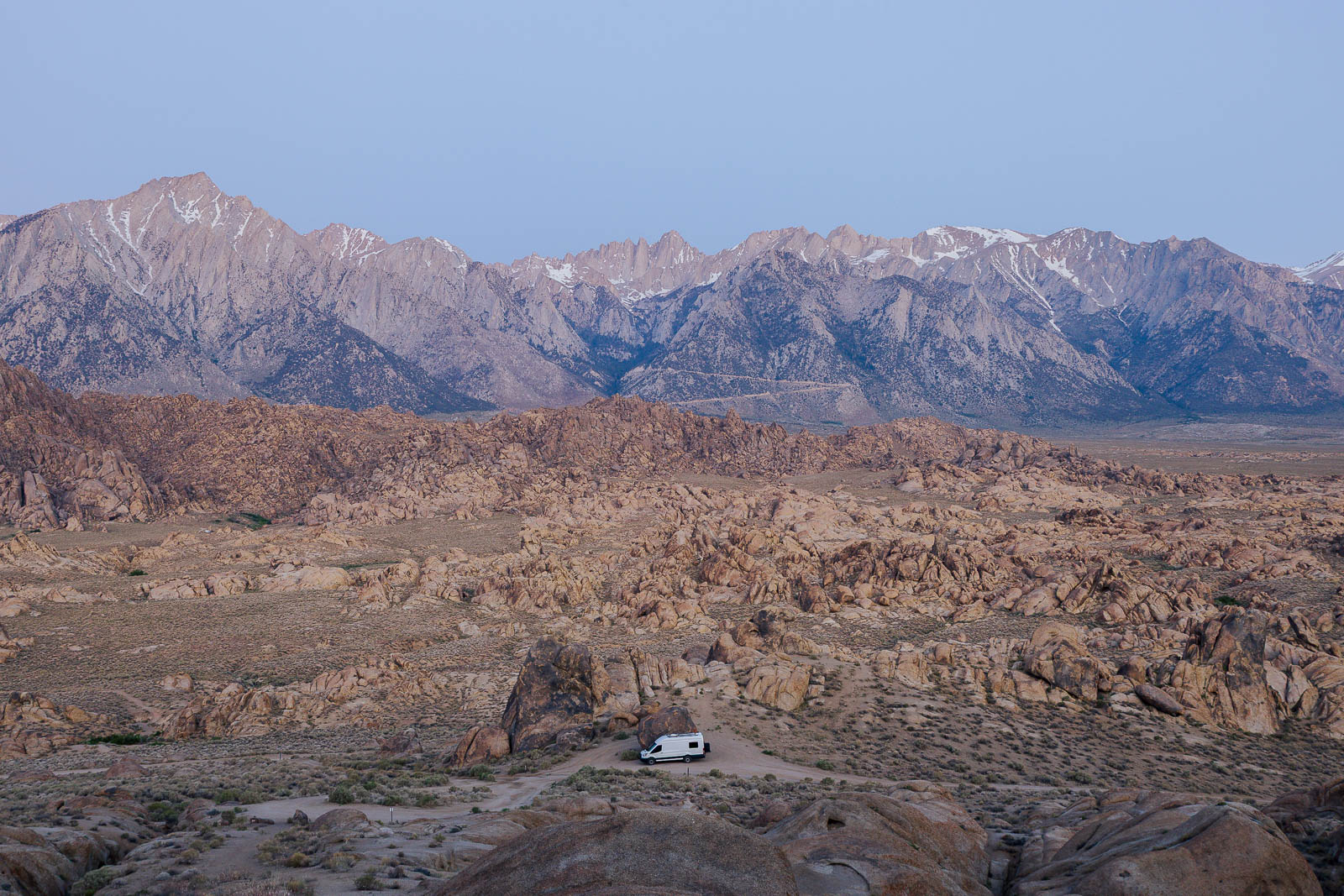
Camping in Leslie Gulch
Slocum Creek Campground
Unless you're a very adventurous day tripper, you're going to need a place to spend the night out here.
The only place to legally camp within Leslie Gulch is at Slocum Creek Campground, just short of the reservoir.
It has nine sites available on a first come, first served basis. We were fortunate to get a campsite for multiple nights, but the campground was full or very close to full every day. We'd recommend arriving as early as possible to snag a spot.
Most sites have a covered picnic table and all of them have a fire ring.
There's no water available at the campground, so bring more than you plan on using. It also doesn't hurt to have a good filtration system as an emergency backup.
There's a vault toilet at the campground and one just down the road near the boat ramp. Both were actually freshly cleaned and stocked with toilet paper during our stay, but that may not be your experience.
There's no trash service, so you'll need to be prepared to pack everything out with you. Please bring multiple trash bags, clean up after yourselves, and gather up anything others have left behind. Under no circumstances should any of us leave trash to pile up inside the restrooms.
If you can believe it, these views and campsites come at no cost. But, of course, that could change. Let's keep it clean and free!

Boondocking Nearby
You'll find free boondocking on nearby BLM land as a second option.
As long as you're outside the Leslie Gulch Area of Critical Environmental Concern or any Wilderness Study Areas, you can legally camp out on BLM land for up to 14 nights. Just make sure you're traveling on previously established routes and using existing campsites.
Hiking Trails in Leslie Gulch
The views right off the road may be incredible, but it's worth trekking up into these rock formations on a hike or two while you're there. Below are all of the official trails within Leslie Gulch.
Timber Gulch Trail
This is the name that everyone knows, and yet Timber Gulch trailhead is the most difficult to actually find.
That's because there's no sign and virtually no trailhead for Timber Gulch. There's a very small pullout that could fit a couple of vehicles.
You'll be able to make out a foot path through the shrubs, but it's mostly overgrown and can be difficult to follow once you're further in. The trail follows the dry creek bed, curving slightly around an 800 foot tall rock formation. It opens up quite a bit toward the end, where you'll get panoramic views inside a a natural amphitheater of cliffs and honeycomb rocks.
There is some boulder scrambling, but nothing too difficult. Overall the hike is pretty moderate, with only 583 feet of elevation over 1.3 miles.
If there's rain forecasted anywhere nearby or storm clouds above, don't attempt the hike. Gulches are prone to flash flooding and could be dangerous, even if it's not raining in the immediate area.

Upper Leslie Gulch
This is the first actual trailhead you'll encounter on the road in. There's a small pullout with a sign.
Upper Leslie Gulch Trail is a bit more open than some of the other hikes in the area, without towering rock faces directly on either side of you.
The path is pretty heavily overgrown, so it's a good idea to wear long pants.
There are some beautiful views along the way and, depending on the time of year, opportunity to see some wildflowers, but otherwise it's not the most impressive hike around.
The total distance of this out-and-back is 4.2 miles with 757 feet of elevation.
Dago Gulch
Immediately after the Upper Leslie Gulch trailhead you'll see a much larger parking area. This is Dago Gulch.
This trail follows a 4x4 road for about a mile before it dead ends at a private property line. It's the easiest option in the area, being wider and going just gradually uphill.
Juniper Gulch Trail
If we had to choose only one hike out here it would be Juniper Gulch.
It's 3.3 miles with a little over 1,000 feet of elevation. Much of that is gained in the last half mile or so, where you climb up for some excellent views overlooking the distant mountains and rock formations.
The trailhead actually has room for several vehicles and its own vault toilet.


Boating Fishing & Swimming the Owyhee Reservoir
Arriving at the Owyhee is like the cherry on top of this epic drive.
Among this otherwise hot and dry environment, it's a scenic place to go for a dip and cool down.
You can swim right near the boat ramp, but following the social trails on either side will take you to some more secluded spots along the bank.
The fishing in the Owyhee is excellent, with opportunities to catch large and smallmouth bass, crappie, catfish, and several varieties of trout.
Boating into the 14,000 acres of water will give you access to views and locations most people will never see. Because road access to the reservoir is extremely limited this is one of the best ways to further explore the canyonlands.

What you Need to Know Before Going
Tips Based on Our Experience
Because of how rugged and unforgiving this region is, you'll need to be fully prepared and self-reliant before setting out. We've done the drive ourselves and camped out for multiple days, so we're sharing our tips from personal experience. Here's how to stay safe in Leslie Gulch:
// Bring plenty of water. There are no potable sources along the drive and this region is known for hot, dry, and dusty conditions, in stark contrast to the lush green forests of western Oregon. It only receives about 10 inches of rain per year! The minimum you should bring is one gallon per person per day. We would recommended doubling that.
You should also have a water filtration system as a back up. We've been using the Sawyer Squeeze for quite a while now and love how compact and convenient it is for up to two people. We just leave it in our day pack. There are gravity fed options if you're traveling with a group.
// Food. You'll need that too. This one's obvious, right? Bring enough food for your intended stay and then some. The west side of Boise is your last stop for supplies before reaching the border from the north. From the south, Jordan Valley is the closest town, but it has very limited amenities. You can get gas and some basics, like snacks and coffee, but not much else.
// Don't forget to download offline maps and consider having a paper copy. Let someone know where you're headed and when you expect to be back.
// Be equipped to self-rescue. The road is an experience of its own. It's not the most adventurous drive we've done, but it's up there. A bad turn, an especially sharp rock, or a large pothole could put your vehicle out of commission. And that's a bad situation to be in. Unless you're prepared to get yourself out.
Any decent self-rescue kit should include things like recovery boards, a shovel, and a jump pack. Check out our full list of gear to have on hand right here.
// Following that line of thought, have a way to reach others in an emergency. We'd recommend something like the Garmin inReach satellite communicator because it can also be useful on any hiking or backpacking trips. But another great tool to have on your belt (figuratively speaking) is Starlink. That's how we stay connected pretty much anywhere, no matter how remote. You can even wire it up to work on 12V so it can be transported in any vehicle and uses less power.

Hey, Want a Free Month of Starlink?
If you haven't already signed up for Starlink and want one month of free service (that's $165!), use our referral link. We also get a free month so, for that, we say: thank you, you're awesome!
The Best Time of Year to Visit
Thanks to the weather there's a narrow window of optimal time to be in Leslie Gulch. Late spring and early fall are the best times of year to visit. During the height of summer the temperatures can be intense. We last visited in early June and it was scorching hot during the afternoon.
Spring run off can present the challenge of impassable roads, but rain usually tapers off throughout May, so that's a better time to go.
We wouldn't recommend going during the winter. While the landscape is undoubtedly beautiful when blanketed with snow, conditions could be especially hazardous.
Wildlife & Plants
Keep an eye out for interesting wildlife. There are hundreds of species living among the Owyhee Canyonlands, including bighorn sheep, Rocky Mountain elk, mule deer, coyotes, and bobcats.
You'll also want to watch for rattlesnakes, especially if you're venturing off onto any of the trails. They're active at all times of day, but particularly during dusk or dawn.
Some unique plant species exist in the Owyhee, including two annuals found only in Leslie Gulch: Etter's groundsel and Packard's blazing star.
Planning to visit Leslie & Timber Gulch? Pin it for later!

Looking for some adventure? Check out our guides:


Some of the links found on our website are affiliate links.
As Amazon Associates we earn from qualifying purchases. We may also receive a small commission at no extra cost to you through other links. Using them is a way of supporting us, helping us offset the cost of running this website, and ensuring that we’re able to continue providing free content and resources.
That makes y’all totally awesome and we truly appreciate the support!
If you've found value in our guides, you can say thanks with a virtual coffee.


Lorem ipsum dolor sit amet, consectetur adipiscing elit. Suspendisse varius enim in eros elementum tristique. Duis cursus, mi quis viverra ornare, eros dolor interdum nulla, ut commodo diam libero vitae erat. Aenean faucibus nibh et justo cursus id rutrum lorem imperdiet. Nunc ut sem vitae risus tristique posuere. uis cursus, mi quis viverra ornare, eros dolor interdum nulla, ut commodo diam libero vitae erat. Aenean faucibus nibh et justo cursus id rutrum lorem imperdiet. Nunc ut sem vitae risus tristique posuere.
Delete